- ALL
Agreement Signed for Disaster Response Collaboration Between the "Mirai Kyosei Disaster Relief Map" and "Spectee Pro"
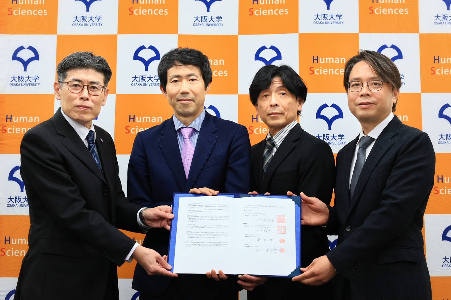
The Graduate School of Human Sciences and the Social Solution Initiative (SSI) at the University of Osaka have signed a four-party agreement with the Regional Information Co-Creation Center (RICCC) and Spectee Inc. concerning disaster response collaboration between the "Mirai Kyosei Disaster Relief Map" and "Spectee Pro."
Through this four-party collaboration, the University of Osaka aims to realize more effective disaster response support. By combining the university's intellectual property—the "Mirai Kyosei Disaster Relief Map"—with Spectee Inc.'s AI-powered technology for analyzing SNS disaster information, the initiative will leverage not only evacuation shelter updates but also critical damage and hazard data, such as landslides and river flooding.
For further details, please visit the website.
Mirai Kyosei Disaster Relief Map (Saikyu Map)
■ What is the Mirai Kyosei Disaster Relief Map (Saikyu Map)?
https://map.respect-relief.net/
The "Saikyu Map" is the abbreviated name of the "Mirai Kyosei Disaster Relief Map" (Future Coexistence Disaster Relief Map). It is an intellectual property of the University of Osaka and has been put into practical use by the Regional Information Co-Creation Center (RICCC).
The map consolidates data on approximately 280,000 facilities, including evacuation shelters, emergency evacuation sites, and religious facilities. It allows users to view information online regarding shelter openings, evacuation notices, hazardous locations, hazard maps, evacuation orders, and other disaster-related information.
Spectee Pro
■ What is Spectee Pro?
https://spectee.co.jp/service/spectee/
Spectee Pro is an AI-powered, real-time disaster prevention and crisis management service. By analyzing global social media posts, weather information, vehicle probe data, and video feeds from more than 10,000 road and river cameras across Japan, it quickly collects, visualizes, and helps predict disaster and crisis risks around the world. Providing accurate, well-organized information instantaneously, it is widely used by local governments and private corporations for disaster response and Business Continuity Planning (BCP), which supports the continuation and rapid recovery of operations during disasters.
Related Links:
●The University of Osaka Graduate School of Human Sciences (Official Website)
https://www.hus.osaka-u.ac.jp/en/
●The University of Osaka Social Solutions Initiative (SSI) (Official Website)
https://www.ssi.osaka-u.ac.jp/en/